
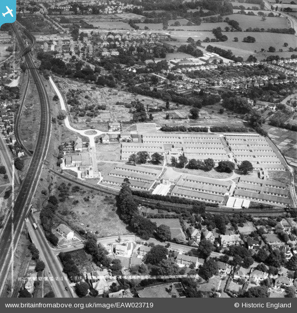
EAW023719 ENGLAND (1949). Government Office Buildings, Hinchley Wood, 1949. This image was marked by Aerofilms Ltd for photo editing.
© Copyright OpenStreetMap contributors and licensed by the OpenStreetMap Foundation. 2026. Cartography is licensed as CC BY-SA.
Nearby Images (7)
EAW023719

EAW023718

EAW023721

EAW023723

EAW023720

EAW023724

EAW023722

Details
| Title | [EAW023719] Government Office Buildings, Hinchley Wood, 1949. This image was marked by Aerofilms Ltd for photo editing. |
| Reference | EAW023719 |
| Date | 12-June-1949 |
| Link | |
| Place name | HINCHLEY WOOD |
| Parish | |
| District | |
| Country | ENGLAND |
| Easting / Northing | 515682, 165834 |
| Longitude / Latitude | -0.33759596548088, 51.379257587001 |
| National Grid Reference | TQ157658 |
Pins

Mr Nozzle |
Tuesday 11th of March 2014 03:55:16 PM | |
|
EMM |
Tuesday 11th of February 2014 10:11:05 PM | |
|
Gina Phillips |
Friday 20th of December 2013 08:54:12 PM | |
|
Gina Phillips |
Friday 20th of December 2013 08:52:54 PM | |
|
Gina Phillips |
Friday 20th of December 2013 08:09:32 PM |
User Comment Contributions
Manor Farm, Claygate Lane |
Gina Phillips |
Friday 20th of December 2013 08:14:01 PM |
Chesterfield Drive |
Gina Phillips |
Friday 20th of December 2013 08:11:24 PM |
The telephone exchange in Claygate Lane. |
Gina Phillips |
Friday 20th of December 2013 08:07:50 PM |