
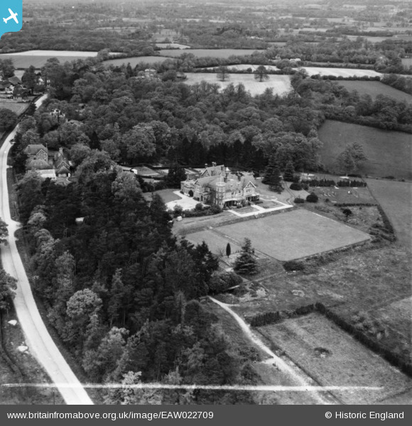
EAW022709 ENGLAND (1949). High Trees School, Wrays, 1949. This image has been produced from a print marked by Aerofilms Ltd for photo editing.
© Copyright OpenStreetMap contributors and licensed by the OpenStreetMap Foundation. 2026. Cartography is licensed as CC BY-SA.
Nearby Images (5)
EAW022709

EAW022705

EAW022706

EAW022707

EAW022708

Details
| Title | [EAW022709] High Trees School, Wrays, 1949. This image has been produced from a print marked by Aerofilms Ltd for photo editing. |
| Reference | EAW022709 |
| Date | 25-April-1949 |
| Link | |
| Place name | WRAYS |
| Parish | SALFORDS AND SIDLOW |
| District | |
| Country | ENGLAND |
| Easting / Northing | 525397, 143956 |
| Longitude / Latitude | -0.20573789023343, 51.180545840678 |
| National Grid Reference | TQ254440 |
Pins
Be the first to add a comment to this image!