
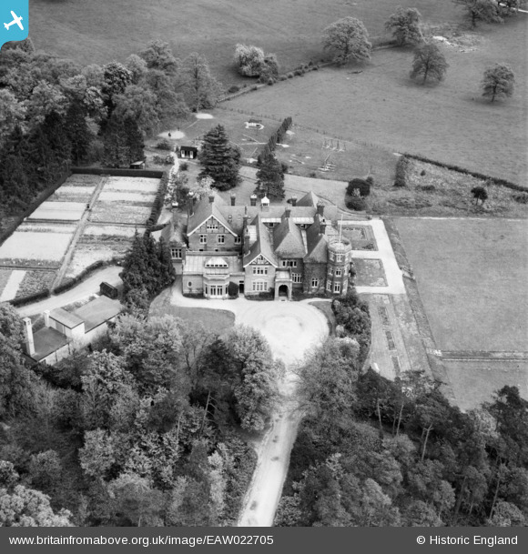
EAW022705 ENGLAND (1949). High Trees School, Wrays, 1949
© Copyright OpenStreetMap contributors and licensed by the OpenStreetMap Foundation. 2026. Cartography is licensed as CC BY-SA.
Nearby Images (5)
EAW022705

EAW022709

EAW022706

EAW022707

EAW022708

Details
| Title | [EAW022705] High Trees School, Wrays, 1949 |
| Reference | EAW022705 |
| Date | 25-April-1949 |
| Link | |
| Place name | WRAYS |
| Parish | SALFORDS AND SIDLOW |
| District | |
| Country | ENGLAND |
| Easting / Northing | 525391, 143958 |
| Longitude / Latitude | -0.20582299896534, 51.180565134119 |
| National Grid Reference | TQ254440 |
Pins

Sparky |
Sunday 27th of August 2017 07:40:52 AM | |

Ams |
Tuesday 16th of September 2014 05:47:24 PM |