
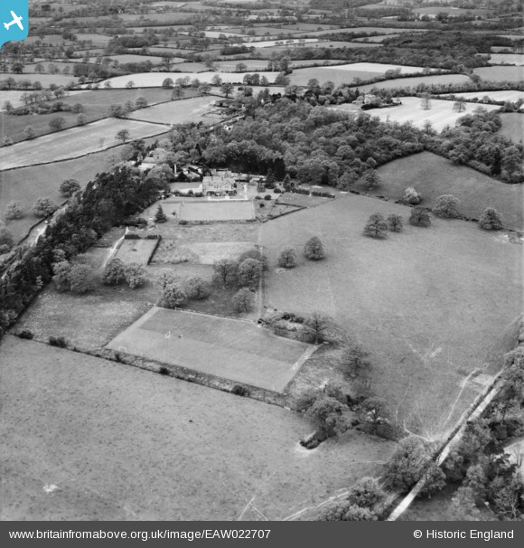
EAW022707 ENGLAND (1949). High Trees School, Wrays, 1949
© Copyright OpenStreetMap contributors and licensed by the OpenStreetMap Foundation. 2026. Cartography is licensed as CC BY-SA.
Nearby Images (4)
EAW022707

EAW022706

EAW022709

EAW022705

Details
| Title | [EAW022707] High Trees School, Wrays, 1949 |
| Reference | EAW022707 |
| Date | 25-April-1949 |
| Link | |
| Place name | WRAYS |
| Parish | SALFORDS AND SIDLOW |
| District | |
| Country | ENGLAND |
| Easting / Northing | 525543, 143900 |
| Longitude / Latitude | -0.20366949599756, 51.180010431849 |
| National Grid Reference | TQ255439 |
Pins
Be the first to add a comment to this image!