
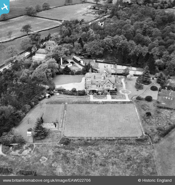
EAW022706 ENGLAND (1949). High Trees School, Wrays, 1949
© Copyright OpenStreetMap contributors and licensed by the OpenStreetMap Foundation. 2026. Cartography is licensed as CC BY-SA.
Nearby Images (5)
EAW022706

EAW022709

EAW022705

EAW022707

EAW022708

Details
| Title | [EAW022706] High Trees School, Wrays, 1949 |
| Reference | EAW022706 |
| Date | 25-April-1949 |
| Link | |
| Place name | WRAYS |
| Parish | SALFORDS AND SIDLOW |
| District | |
| Country | ENGLAND |
| Easting / Northing | 525403, 143951 |
| Longitude / Latitude | -0.20565382876168, 51.180499581423 |
| National Grid Reference | TQ254440 |
