
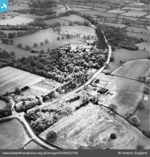
EAW022708 ENGLAND (1949). Horse Hill, Wrays, 1949. This image has been produced from a damaged negative.
© Copyright OpenStreetMap contributors and licensed by the OpenStreetMap Foundation. 2026. Cartography is licensed as CC BY-SA.
Nearby Images (4)
EAW022708

EAW022705

EAW022709

EAW022706

Details
| Title | [EAW022708] Horse Hill, Wrays, 1949. This image has been produced from a damaged negative. |
| Reference | EAW022708 |
| Date | 25-April-1949 |
| Link | |
| Place name | WRAYS |
| Parish | SALFORDS AND SIDLOW |
| District | |
| Country | ENGLAND |
| Easting / Northing | 525210, 144166 |
| Longitude / Latitude | -0.20833901033722, 51.182474440055 |
| National Grid Reference | TQ252442 |
Pins
Be the first to add a comment to this image!