
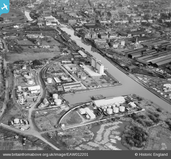
EAW012201 ENGLAND (1947). Gloucester Docks, Gloucester, 1947
© Copyright OpenStreetMap contributors and licensed by the OpenStreetMap Foundation. 2026. Cartography is licensed as CC BY-SA.
Nearby Images (16)
EAW012201

EAW012205

EPW037770

EPW024167

EAW012203

EAW012199

EPW037771

EPW037769

EPW016966

EAW012196

EAW012208

EPW048245

EAW012206

EAW012198

EAW032302

EPW037836

Details
| Title | [EAW012201] Gloucester Docks, Gloucester, 1947 |
| Reference | EAW012201 |
| Date | 13-November-1947 |
| Link | |
| Place name | GLOUCESTER |
| Parish | |
| District | |
| Country | ENGLAND |
| Easting / Northing | 382302, 217652 |
| Longitude / Latitude | -2.2570037396632, 51.856733315433 |
| National Grid Reference | SO823177 |
Pins

Sparky |
Saturday 30th of September 2017 08:49:52 PM |