
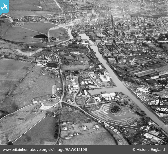
EAW012196 ENGLAND (1947). Gloucester Docks, Gloucester, 1947
© Copyright OpenStreetMap contributors and licensed by the OpenStreetMap Foundation. 2026. Cartography is licensed as CC BY-SA.
Nearby Images (21)
EAW012196

EAW012199

EAW012208

EAW012198

EAW012206

EAW012205

EPW037770

EAW012201

EPW037836

EPW016966

EPW048240

EPW038348

EPW038347

EPW038345

EPW024167

EPW038346

EPW038343

EPW038344

EPW037769

EAW012211

EAW032302

Details
| Title | [EAW012196] Gloucester Docks, Gloucester, 1947 |
| Reference | EAW012196 |
| Date | 13-November-1947 |
| Link | |
| Place name | GLOUCESTER |
| Parish | |
| District | |
| Country | ENGLAND |
| Easting / Northing | 382306, 217813 |
| Longitude / Latitude | -2.2569539000631, 51.858181133077 |
| National Grid Reference | SO823178 |


