
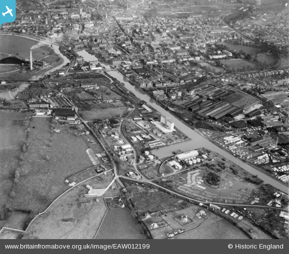
EAW012199 ENGLAND (1947). Gloucester Docks, Gloucester, 1947
© Copyright OpenStreetMap contributors and licensed by the OpenStreetMap Foundation. 2026. Cartography is licensed as CC BY-SA.
Nearby Images (22)
EAW012199

EAW012208

EAW012196

EAW012198

EAW012206

EAW012201

EPW016966

EAW012205

EPW037836

EPW037770

EPW048240

EPW024167

EAW012203

EAW032298

EAW032297

EPW048245

EPW037769

EAW032302

EPW037771

EPW038348

EPW038347

EPW038345

Details
| Title | [EAW012199] Gloucester Docks, Gloucester, 1947 |
| Reference | EAW012199 |
| Date | 13-November-1947 |
| Link | |
| Place name | GLOUCESTER |
| Parish | |
| District | |
| Country | ENGLAND |
| Easting / Northing | 382346, 217774 |
| Longitude / Latitude | -2.2563710295667, 51.857831717434 |
| National Grid Reference | SO823178 |
Pins

Richcl |
Thursday 7th of September 2023 06:42:16 PM | |
|
Richcl |
Thursday 7th of September 2023 06:41:23 PM | |
|
cptpies |
Wednesday 30th of June 2021 02:26:53 PM | |

Sparky |
Saturday 30th of September 2017 08:46:26 PM | |
|
Sparky |
Saturday 30th of September 2017 08:45:52 PM | |

Class31 |
Monday 1st of December 2014 10:28:51 AM |
