
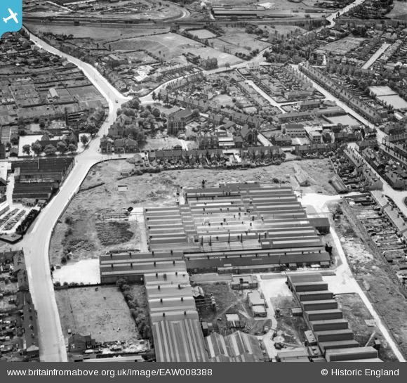
EAW008388 ENGLAND (1947). John Harper and Co Ltd Albion Works on Clarkes Lane, Willenhall, 1947
© Copyright OpenStreetMap contributors and licensed by the OpenStreetMap Foundation. 2026. Cartography is licensed as CC BY-SA.
Nearby Images (16)
EAW008388

EAW008385

EAW008390

EAW008386

EAW008386A

EAW008387

EAW008383

EAW041779

EAW008384

EAW041778

EAW008389

EAW041770

EAW041771

EAW041775

EAW041773

EPW061255

Details
| Title | [EAW008388] John Harper and Co Ltd Albion Works on Clarkes Lane, Willenhall, 1947 |
| Reference | EAW008388 |
| Date | 20-July-1947 |
| Link | |
| Place name | WILLENHALL |
| Parish | |
| District | |
| Country | ENGLAND |
| Easting / Northing | 397306, 298743 |
| Longitude / Latitude | -2.0397674670959, 52.586129128288 |
| National Grid Reference | SO973987 |
