
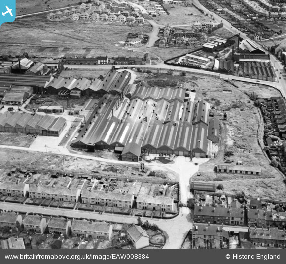
EAW008384 ENGLAND (1947). John Harper and Co Ltd Albion Works on Clarkes Lane, Willenhall, 1947
© Copyright OpenStreetMap contributors and licensed by the OpenStreetMap Foundation. 2026. Cartography is licensed as CC BY-SA.
Nearby Images (19)
EAW008384

EAW008387

EAW008383

EAW008386

EAW008386A

EAW008390

EAW041779

EAW008385

EAW008388

EAW041778

EAW041770

EAW041771

EAW008389

EAW041775

EPW061255

EAW041777

EAW041773

EAW008382

EAW008381

Details
| Title | [EAW008384] John Harper and Co Ltd Albion Works on Clarkes Lane, Willenhall, 1947 |
| Reference | EAW008384 |
| Date | 20-July-1947 |
| Link | |
| Place name | WILLENHALL |
| Parish | |
| District | |
| Country | ENGLAND |
| Easting / Northing | 397268, 298803 |
| Longitude / Latitude | -2.0403288989075, 52.586668389219 |
| National Grid Reference | SO973988 |
Pins

redmist |
Wednesday 12th of October 2022 01:47:19 PM | |
|
redmist |
Wednesday 12th of October 2022 01:46:31 PM | |
|
Bentleyboy |
Wednesday 2nd of April 2014 09:23:20 AM | |
|
Bentleyboy |
Wednesday 2nd of April 2014 09:21:52 AM | |
|
Bentleyboy |
Wednesday 2nd of April 2014 09:20:44 AM | |
|
Martin |
Saturday 1st of February 2014 12:12:01 AM | |
|
Martin |
Saturday 1st of February 2014 12:08:43 AM |