
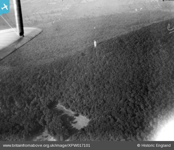
XPW017101 SWITZERLAND (1926). Unlocated, Switzerland, 1926.
© Hawlfraint cyfranwyr OpenStreetMap a thrwyddedwyd gan yr OpenStreetMap Foundation. 2026. Trwyddedir y gartograffeg fel CC BY-SA.
Delweddau cyfagos (4)
XPW017093

XPW017098

XPW017101

XPW017103

Manylion
| Pennawd | [XPW017101] Unlocated, Switzerland, 1926. |
| Cyfeirnod | XPW017101 |
| Dyddiad | 1926 |
| Dolen | |
| Enw lle | |
| Plwyf | SWITZERLAND |
| Ardal | |
| Gwlad | SWITZERLAND |
| Dwyreiniad / Gogleddiad | 622674, -5527598 |
| Hydred / Lledred | , |
| Cyfeirnod Grid Cenedlaethol |
Pinnau

Pcrail |
Monday 13th of October 2025 02:22:49 AM |