
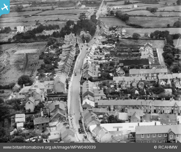
WPW040039 WALES (1932). General view of Cardigan, oblique aerial view. 5"x4" black and white glass plate negative.
© Hawlfraint cyfranwyr OpenStreetMap a thrwyddedwyd gan yr OpenStreetMap Foundation. 2026. Trwyddedir y gartograffeg fel CC BY-SA.
Delweddau cyfagos (5)
WPW040038

WPW040039

WPW040040

WPW040041

WPW040042

Manylion
| Pennawd | [WPW040039] General view of Cardigan, oblique aerial view. 5"x4" black and white glass plate negative. |
| Cyfeirnod | WPW040039 |
| Dyddiad | 1932 |
| Dolen | Coflein Archive Item 6369652 |
| Enw lle | |
| Plwyf | |
| Ardal | |
| Gwlad | WALES |
| Dwyreiniad / Gogleddiad | 217781, 246137 |
| Hydred / Lledred | -4.6597155414935, 52.083133851067 |
| Cyfeirnod Grid Cenedlaethol | SN178461 |
Pinnau

Cardigan memories |
Thursday 14th of May 2026 09:10:42 AM | |

Dylan Moore |
Sunday 30th of June 2013 11:04:29 PM | |
|
Dylan Moore |
Sunday 30th of June 2013 09:06:55 PM | |
|
Dylan Moore |
Sunday 30th of June 2013 09:06:19 PM | |
|
Dylan Moore |
Sunday 30th of June 2013 09:05:13 PM | |
|
Dylan Moore |
Sunday 30th of June 2013 09:02:46 PM | |
|
huwbbc |
Thursday 28th of June 2012 08:44:48 PM |