
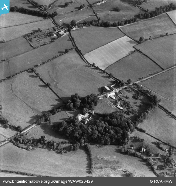
WAW026429 WALES (1949). View of Lugg valley showing The Grove, Maes Treylow, and Yew Tree farm in the distance. Oblique aerial photograph, 5½" cut roll film.
© Hawlfraint cyfranwyr OpenStreetMap a thrwyddedwyd gan yr OpenStreetMap Foundation. 2026. Trwyddedir y gartograffeg fel CC BY-SA.
Delweddau cyfagos (2)
WAW026428

WAW026429

Manylion
| Pennawd | [WAW026429] View of Lugg valley showing The Grove, Maes Treylow, and Yew Tree farm in the distance. Oblique aerial photograph, 5½" cut roll film. |
| Cyfeirnod | WAW026429 |
| Dyddiad | 8-September-1949 |
| Dolen | Coflein Archive Item 6422698 |
| Enw lle | |
| Plwyf | |
| Ardal | |
| Gwlad | WALES |
| Dwyreiniad / Gogleddiad | 326700, 265400 |
| Hydred / Lledred | -3.0745971831008, 52.281457269162 |
| Cyfeirnod Grid Cenedlaethol | SO267654 |
Pinnau
Byddwch y cyntaf i ychwanegu sylw at y ddelwedd hon!