
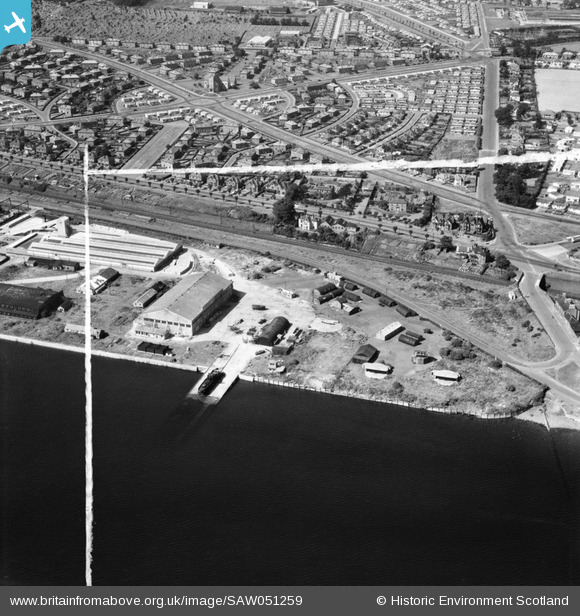
SAW051259 SCOTLAND (1953). Dundee, general view, showing former Seaplane Base, Stannergate Road and Craigie Avenue. An oblique aerial photograph taken facing north. This image has been produced from a crop marked negative.
© Hawlfraint cyfranwyr OpenStreetMap a thrwyddedwyd gan yr OpenStreetMap Foundation. 2026. Trwyddedir y gartograffeg fel CC BY-SA.
Delweddau cyfagos (11)
SAW051252

SAW051254

SAW051259

SAW051257

SAW051256

SAW051258

SAW051262

SAW051253

SAW051255

SAW051260

SAW051261

Manylion
| Pennawd | [SAW051259] Dundee, general view, showing former Seaplane Base, Stannergate Road and Craigie Avenue. An oblique aerial photograph taken facing north. This image has been produced from a crop marked negative. |
| Cyfeirnod | SAW051259 |
| Dyddiad | 1953 |
| Dolen | NRHE Collection item 1297920 |
| Enw lle | |
| Plwyf | DUNDEE (DUNDEE, CITY OF) |
| Ardal | CITY OF DUNDEE |
| Gwlad | SCOTLAND |
| Dwyreiniad / Gogleddiad | 343160, 730910 |
| Hydred / Lledred | -2.922627491034, 56.466995320987 |
| Cyfeirnod Grid Cenedlaethol | NO432309 |
Pinnau

Matt Aldred edob.mattaldred.com |
Monday 29th of March 2021 01:27:52 PM | |
|
Matt Aldred edob.mattaldred.com |
Monday 29th of March 2021 01:25:43 PM | |
|
Matt Aldred edob.mattaldred.com |
Monday 29th of March 2021 01:22:36 PM | |

Billy Turner |
Thursday 28th of January 2016 08:47:40 PM | |

irmurray |
Thursday 24th of April 2014 01:21:11 PM | |
|
irmurray |
Thursday 24th of April 2014 01:19:23 PM | |
|
MB |
Monday 19th of November 2012 11:30:42 AM |