
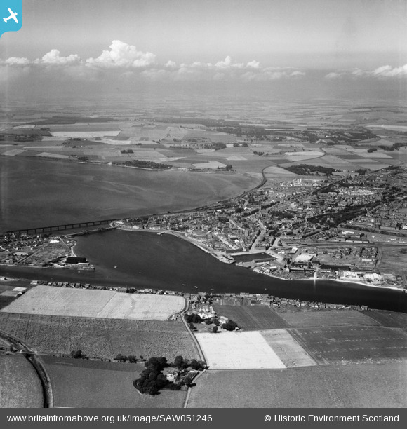
SAW051246 SCOTLAND (1953). Montrose, general view. An oblique aerial photograph taken facing north.
© Hawlfraint cyfranwyr OpenStreetMap a thrwyddedwyd gan yr OpenStreetMap Foundation. 2026. Trwyddedir y gartograffeg fel CC BY-SA.
Delweddau cyfagos (5)
SAW051246

SPW040587

SAR036015

SPW033639

SAW051248

Manylion
| Pennawd | [SAW051246] Montrose, general view. An oblique aerial photograph taken facing north. |
| Cyfeirnod | SAW051246 |
| Dyddiad | 1953 |
| Dolen | NRHE Collection item 1297907 |
| Enw lle | |
| Plwyf | MONTROSE |
| Ardal | ANGUS |
| Gwlad | SCOTLAND |
| Dwyreiniad / Gogleddiad | 371584, 757024 |
| Hydred / Lledred | -2.4641405336334, 56.704190149893 |
| Cyfeirnod Grid Cenedlaethol | NO716570 |
Pinnau

Celurca |
Monday 1st of March 2021 05:24:14 PM | |
 |

Billy Turner |
Monday 20th of June 2016 06:00:57 PM |