
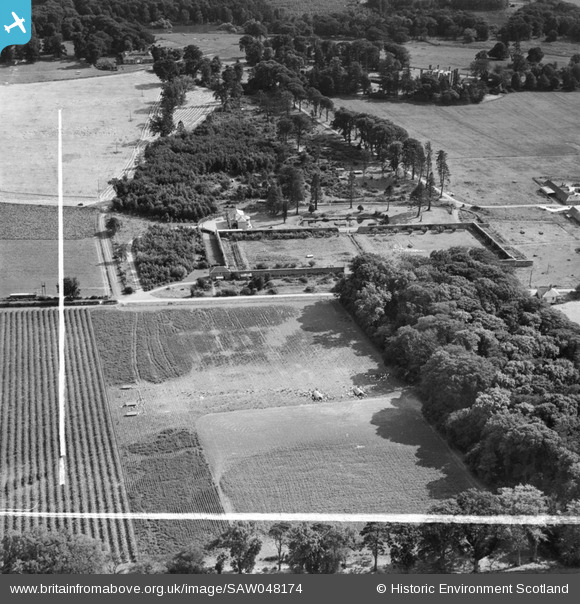
SAW048174 SCOTLAND (1953). Newbyth Farmhouse and Walled Garden, Whitekirk. An oblique aerial photograph taken facing south. This image has been produced from a crop marked negative.
© Hawlfraint cyfranwyr OpenStreetMap a thrwyddedwyd gan yr OpenStreetMap Foundation. 2026. Trwyddedir y gartograffeg fel CC BY-SA.
Delweddau cyfagos (7)
SAW048174

SAW048176

SAW048175

SAW048177

SAW048179

SAW048181

SAW048183

Manylion
| Pennawd | [SAW048174] Newbyth Farmhouse and Walled Garden, Whitekirk. An oblique aerial photograph taken facing south. This image has been produced from a crop marked negative. |
| Cyfeirnod | SAW048174 |
| Dyddiad | 1953 |
| Dolen | NRHE Collection item 1297844 |
| Enw lle | |
| Plwyf | WHITEKIRK AND TYNINGHAME |
| Ardal | EAST LOTHIAN |
| Gwlad | SCOTLAND |
| Dwyreiniad / Gogleddiad | 358700, 680450 |
| Hydred / Lledred | -2.662530985984, 56.015240989577 |
| Cyfeirnod Grid Cenedlaethol | NT587805 |
Pinnau
Byddwch y cyntaf i ychwanegu sylw at y ddelwedd hon!