
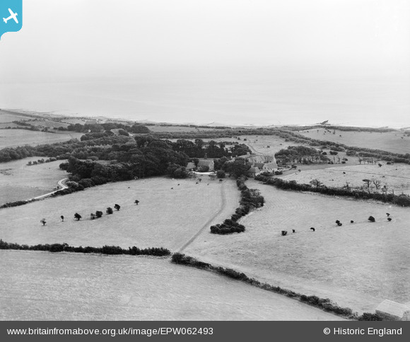
EPW062493 ENGLAND (1939). Bailiffscourt, Climping, from the north-west, 1939
© Hawlfraint cyfranwyr OpenStreetMap a thrwyddedwyd gan yr OpenStreetMap Foundation. 2026. Trwyddedir y gartograffeg fel CC BY-SA.
Delweddau cyfagos (24)
EPW062493

EPW020163

EPW020164

EPW062503

EPW020169

EPW020171

EPW020167

EPW020155

EPW020160

EPW020149

EPW020165

EPW062498

EPW062492

EPW020158

EPW020153

EPW062494

EPW020148

EPW062495

EPW020157

EPW020150

EPW020156

EPW045538

EPW020172

EPW062497

Manylion
| Pennawd | [EPW062493] Bailiffscourt, Climping, from the north-west, 1939 |
| Cyfeirnod | EPW062493 |
| Dyddiad | 13-August-1939 |
| Dolen | |
| Enw lle | CLIMPING |
| Plwyf | CLIMPING |
| Ardal | |
| Gwlad | ENGLAND |
| Dwyreiniad / Gogleddiad | 499956, 100919 |
| Hydred / Lledred | -0.58147391922095, 50.798637111619 |
| Cyfeirnod Grid Cenedlaethol | SU1000009 |
Pinnau

totoro |
Monday 9th of September 2013 09:46:06 PM |