
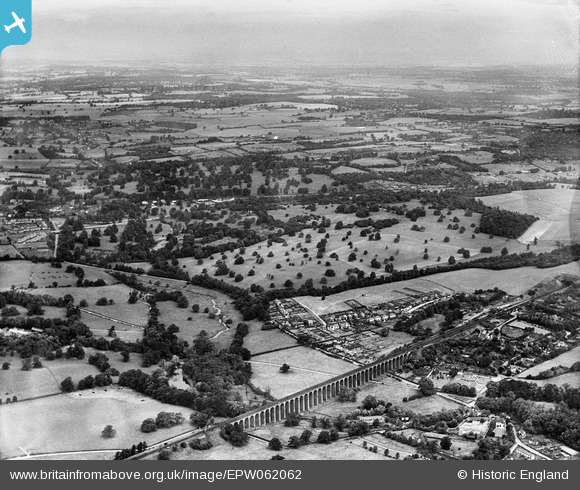
EPW062062 ENGLAND (1939). Lockleys Park, Welwyn, from the south-east, 1939
© Hawlfraint cyfranwyr OpenStreetMap a thrwyddedwyd gan yr OpenStreetMap Foundation. 2026. Trwyddedir y gartograffeg fel CC BY-SA.
Delweddau cyfagos (3)
EPW062062

EPW062063

EPW062061

Manylion
| Pennawd | [EPW062062] Lockleys Park, Welwyn, from the south-east, 1939 |
| Cyfeirnod | EPW062062 |
| Dyddiad | 28-June-1939 |
| Dolen | |
| Enw lle | WELWYN |
| Plwyf | WELWYN |
| Ardal | |
| Gwlad | ENGLAND |
| Dwyreiniad / Gogleddiad | 524330, 215204 |
| Hydred / Lledred | -0.19587971968123, 51.82116349728 |
| Cyfeirnod Grid Cenedlaethol | TL243152 |
Pinnau

Chells809 |
Sunday 26th of January 2014 09:34:32 PM | |
|
Chells809 |
Sunday 26th of January 2014 09:32:58 PM | |
|
Chells809 |
Sunday 26th of January 2014 09:31:41 PM | |
|
Chells809 |
Sunday 26th of January 2014 09:30:39 PM | |
|
Chells809 |
Sunday 26th of January 2014 09:29:19 PM | |
|
Chells809 |
Sunday 26th of January 2014 09:28:12 PM |