
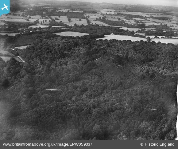
EPW059337 ENGLAND (1938). Oldbury Wood, Oldbury Hill, 1938
© Hawlfraint cyfranwyr OpenStreetMap a thrwyddedwyd gan yr OpenStreetMap Foundation. 2026. Trwyddedir y gartograffeg fel CC BY-SA.
Delweddau cyfagos (2)
EPW059337

EPW059338

Manylion
| Pennawd | [EPW059337] Oldbury Wood, Oldbury Hill, 1938 |
| Cyfeirnod | EPW059337 |
| Dyddiad | 12-September-1938 |
| Dolen | |
| Enw lle | OLDBURY HILL |
| Plwyf | IGHTHAM |
| Ardal | |
| Gwlad | ENGLAND |
| Dwyreiniad / Gogleddiad | 558121, 156139 |
| Hydred / Lledred | 0.26752383636202, 51.281906617427 |
| Cyfeirnod Grid Cenedlaethol | TQ581561 |
Pinnau

Class31 |
Monday 8th of July 2013 07:10:36 AM | |
|
Class31 |
Sunday 7th of July 2013 12:23:02 AM | |
|
Class31 |
Sunday 7th of July 2013 12:19:38 AM | |
|
Class31 |
Sunday 7th of July 2013 12:18:01 AM | |
|
Class31 |
Sunday 7th of July 2013 12:17:31 AM | |
|
Class31 |
Sunday 7th of July 2013 12:05:13 AM |
Cyfraniadau Grŵp
Eureka Oldbury Wood looking north. |
Class31 |
Tuesday 3rd of September 2013 04:37:07 PM |
Hi Class31, Thanks for spotting this one. According to the original Aerofilms Ltd Register this image was another "LCC Green Belt" photo. We'll update the catalogue and post your new data here in due course. Yours, Katy Britain from Above Cataloguing Team Leader |
Katy Whitaker |
Tuesday 3rd of September 2013 04:37:07 PM |