
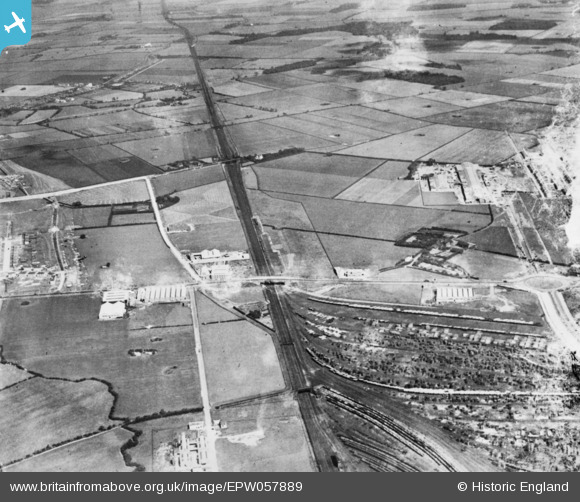
EPW057889 ENGLAND (1938). The Garston and Runcorn Gap Railway Line and environs, Hunt's Cross, 1938. This image has been produced from a damaged copy-negative.
© Hawlfraint cyfranwyr OpenStreetMap a thrwyddedwyd gan yr OpenStreetMap Foundation. 2026. Trwyddedir y gartograffeg fel CC BY-SA.
Delweddau cyfagos (15)
EPW057889

EAW042559

EAW042562

EAW042558

EAW042555

EAW042556

EAW042557

EAW042561

EAW042563

EAW042560

EAW047301

EAW004067

EAW047302

EAW004076

EAW004077

Manylion
| Pennawd | [EPW057889] The Garston and Runcorn Gap Railway Line and environs, Hunt's Cross, 1938. This image has been produced from a damaged copy-negative. |
| Cyfeirnod | EPW057889 |
| Dyddiad | July-1938 |
| Dolen | |
| Enw lle | HUNT'S CROSS |
| Plwyf | |
| Ardal | |
| Gwlad | ENGLAND |
| Dwyreiniad / Gogleddiad | 342792, 384363 |
| Hydred / Lledred | -2.859560588805, 53.352786813201 |
| Cyfeirnod Grid Cenedlaethol | SJ428844 |
Pinnau

Ginger79 |
Sunday 21st of March 2021 01:26:32 PM |