
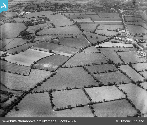
EPW057587 ENGLAND (1938). Monkspath Street and environs, Cheswick Green, 1938
© Hawlfraint cyfranwyr OpenStreetMap a thrwyddedwyd gan yr OpenStreetMap Foundation. 2026. Trwyddedir y gartograffeg fel CC BY-SA.
Delweddau cyfagos (2)
EPW057587

EPW057586

Manylion
| Pennawd | [EPW057587] Monkspath Street and environs, Cheswick Green, 1938 |
| Cyfeirnod | EPW057587 |
| Dyddiad | 14-June-1938 |
| Dolen | |
| Enw lle | CHESWICK GREEN |
| Plwyf | CHESWICK GREEN |
| Ardal | |
| Gwlad | ENGLAND |
| Dwyreiniad / Gogleddiad | 412938, 276667 |
| Hydred / Lledred | -1.8098740734559, 52.387497659924 |
| Cyfeirnod Grid Cenedlaethol | SP129767 |
Pinnau
Cyfraniadau Grŵp
Thanks everyone for the location details - we'll update the catalogue with the new information and post the updated record here in due course. Yours, Katy Britain from Above Cataloguing Team Leader |
Katy Whitaker |
Friday 1st of November 2013 04:12:39 PM |
All credit to c for spotting this group. |

Class31 |
Monday 9th of September 2013 09:52:36 PM |
See also EPW057584, EPW057585, EPW057586, EPW057588. |

BigglesH |
Sunday 7th of July 2013 12:15:03 AM |
... and EPW057589 |
Tony D |
Sunday 7th of July 2013 12:15:03 AM |