
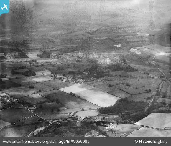
EPW056969 ENGLAND (1938). Dunbridge and the countryside around Mottisfont Abbey, Mottisfont, from the south-west, 1938. This image has been produced from a damaged negative.
© Hawlfraint cyfranwyr OpenStreetMap a thrwyddedwyd gan yr OpenStreetMap Foundation. 2026. Trwyddedir y gartograffeg fel CC BY-SA.
Delweddau cyfagos (3)
EPW056969

EPW056964

EPW056965

Manylion
| Pennawd | [EPW056969] Dunbridge and the countryside around Mottisfont Abbey, Mottisfont, from the south-west, 1938. This image has been produced from a damaged negative. |
| Cyfeirnod | EPW056969 |
| Dyddiad | 26-April-1938 |
| Dolen | |
| Enw lle | MOTTISFONT |
| Plwyf | MOTTISFONT |
| Ardal | |
| Gwlad | ENGLAND |
| Dwyreiniad / Gogleddiad | 432130, 126250 |
| Hydred / Lledred | -1.5417277314841, 51.034174788738 |
| Cyfeirnod Grid Cenedlaethol | SU321263 |
Pinnau
Byddwch y cyntaf i ychwanegu sylw at y ddelwedd hon!