
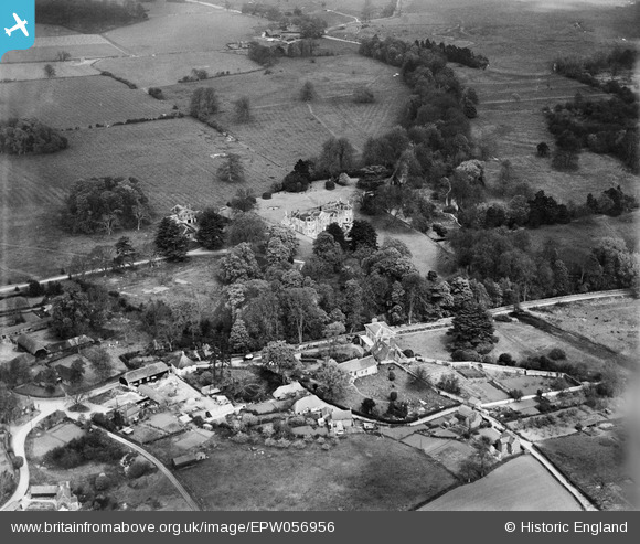
EPW056956 ENGLAND (1938). Mottisfont Abbey and environs, Mottisfont, 1938
© Hawlfraint cyfranwyr OpenStreetMap a thrwyddedwyd gan yr OpenStreetMap Foundation. 2026. Trwyddedir y gartograffeg fel CC BY-SA.
Delweddau cyfagos (11)
EPW056956

EPW056973

EPW056972

EPW056974

EPW057413

EPW056959

EPW056957

EPW057416

EPW056958

EPW057420

EPW057411

Manylion
| Pennawd | [EPW056956] Mottisfont Abbey and environs, Mottisfont, 1938 |
| Cyfeirnod | EPW056956 |
| Dyddiad | 26-April-1938 |
| Dolen | |
| Enw lle | MOTTISFONT |
| Plwyf | MOTTISFONT |
| Ardal | |
| Gwlad | ENGLAND |
| Dwyreiniad / Gogleddiad | 432672, 126915 |
| Hydred / Lledred | -1.5339374316209, 51.040124513431 |
| Cyfeirnod Grid Cenedlaethol | SU327269 |
Pinnau

Lee |
Wednesday 23rd of October 2013 06:36:30 AM | |
|
Lee |
Wednesday 23rd of October 2013 06:35:26 AM | |
|
Lee |
Wednesday 23rd of October 2013 06:34:07 AM | |
|
Lee |
Wednesday 23rd of October 2013 06:33:05 AM | |
|
Lee |
Wednesday 23rd of October 2013 06:32:13 AM | |
|
Lee |
Wednesday 23rd of October 2013 06:30:53 AM | |
|
Lee |
Wednesday 23rd of October 2013 06:29:47 AM | |
|
Lee |
Wednesday 23rd of October 2013 06:27:32 AM | |
|
Lee |
Wednesday 23rd of October 2013 06:26:36 AM | |
|
Lee |
Wednesday 23rd of October 2013 06:25:34 AM | |
|
Lee |
Wednesday 23rd of October 2013 06:24:37 AM | |
|
Lee |
Wednesday 23rd of October 2013 06:23:56 AM |