
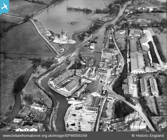
EPW056349 ENGLAND (1938). Harefield Mills on the Grand Union Canal, Harefield, 1938
© Hawlfraint cyfranwyr OpenStreetMap a thrwyddedwyd gan yr OpenStreetMap Foundation. 2026. Trwyddedir y gartograffeg fel CC BY-SA.
Delweddau cyfagos (27)
EPW056349

EPW006657

EPW006658

EPW056355

EPW056348

EPW056350

EPW056353

EPW057661

EPW057662

EPW006659

EPW057663

EPW006652

EPW056351

EPW006654

EPW006668

EPW006660

EPW006663

EPW006664

EPW006667

EPW056354

EPW056352

EPW006662

EPW006653

EPW006661

EPW006656

EPW056357

EPW056356

Manylion
| Pennawd | [EPW056349] Harefield Mills on the Grand Union Canal, Harefield, 1938 |
| Cyfeirnod | EPW056349 |
| Dyddiad | 5-February-1938 |
| Dolen | |
| Enw lle | HAREFIELD |
| Plwyf | |
| Ardal | |
| Gwlad | ENGLAND |
| Dwyreiniad / Gogleddiad | 504085, 191150 |
| Hydred / Lledred | -0.49671690904482, 51.609079428004 |
| Cyfeirnod Grid Cenedlaethol | TQ041912 |
Pinnau

Steve Waite |
Wednesday 12th of February 2020 08:48:24 PM | |
|
The Laird |
Saturday 5th of March 2016 07:28:34 PM | |
|
The Laird |
Saturday 5th of March 2016 07:06:34 PM |