
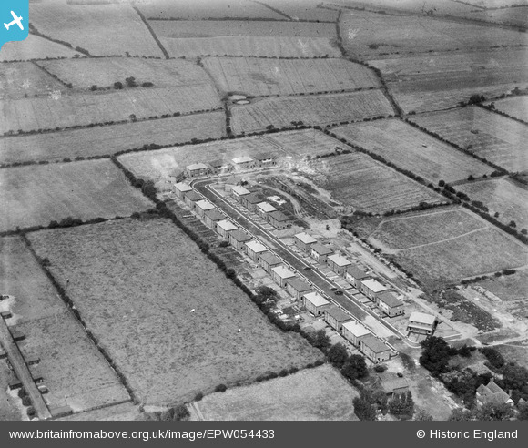
EPW054433 ENGLAND (1937). Laburnum Road, Lowton St Mary's, 1937
© Hawlfraint cyfranwyr OpenStreetMap a thrwyddedwyd gan yr OpenStreetMap Foundation. 2026. Trwyddedir y gartograffeg fel CC BY-SA.
Delweddau cyfagos (5)
EPW054433

EPW054435

EPW054431

EPW054432

EPW054434

Manylion
| Pennawd | [EPW054433] Laburnum Road, Lowton St Mary's, 1937 |
| Cyfeirnod | EPW054433 |
| Dyddiad | 30-July-1937 |
| Dolen | |
| Enw lle | LOWTON ST MARY'S |
| Plwyf | |
| Ardal | |
| Gwlad | ENGLAND |
| Dwyreiniad / Gogleddiad | 362631, 397498 |
| Hydred / Lledred | -2.5630531842894, 53.472633883214 |
| Cyfeirnod Grid Cenedlaethol | SJ626975 |
Pinnau

bomber |
Saturday 5th of October 2013 02:45:47 PM | |

Class31 |
Tuesday 18th of June 2013 10:52:25 AM | |
Thank you for spending time on the little group that includes this image. We'll update the catalogue and post the new record here in due course. Yours, Katy Britain from Above Cataloguing Team Leader |
Katy Whitaker |
Tuesday 2nd of July 2013 04:57:35 PM |
|
Chris Willis |
Monday 17th of June 2013 06:47:49 PM |