
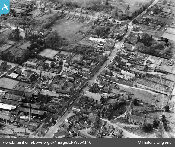
EPW054146 ENGLAND (1937). The High Street, Edenbridge, 1937
© Hawlfraint cyfranwyr OpenStreetMap a thrwyddedwyd gan yr OpenStreetMap Foundation. 2026. Trwyddedir y gartograffeg fel CC BY-SA.
Delweddau cyfagos (6)
EPW054146

EPW054145

EPW026259

EPW026263

EPW026262

EPW026260

Manylion
| Pennawd | [EPW054146] The High Street, Edenbridge, 1937 |
| Cyfeirnod | EPW054146 |
| Dyddiad | 7-July-1937 |
| Dolen | |
| Enw lle | EDENBRIDGE |
| Plwyf | EDENBRIDGE |
| Ardal | |
| Gwlad | ENGLAND |
| Dwyreiniad / Gogleddiad | 544352, 146188 |
| Hydred / Lledred | 0.066203216285, 51.196132874377 |
| Cyfeirnod Grid Cenedlaethol | TQ444462 |
Pinnau
Byddwch y cyntaf i ychwanegu sylw at y ddelwedd hon!