
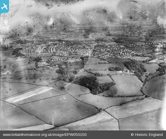
EPW050150 ENGLAND (1936). Four Acre Wood, the town and environs, Penwortham, from the west, 1936. This image has been produced from a damaged negative.
© Hawlfraint cyfranwyr OpenStreetMap a thrwyddedwyd gan yr OpenStreetMap Foundation. 2026. Trwyddedir y gartograffeg fel CC BY-SA.
Delweddau cyfagos (2)
EPW050150

EPW050156

Manylion
| Pennawd | [EPW050150] Four Acre Wood, the town and environs, Penwortham, from the west, 1936. This image has been produced from a damaged negative. |
| Cyfeirnod | EPW050150 |
| Dyddiad | May-1936 |
| Dolen | |
| Enw lle | PENWORTHAM |
| Plwyf | PENWORTHAM |
| Ardal | |
| Gwlad | ENGLAND |
| Dwyreiniad / Gogleddiad | 350798, 428525 |
| Hydred / Lledred | -2.7462323934713, 53.750548232095 |
| Cyfeirnod Grid Cenedlaethol | SD508285 |
Pinnau
Byddwch y cyntaf i ychwanegu sylw at y ddelwedd hon!