
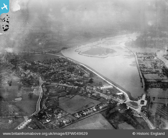
EPW049629 ENGLAND (1936). The Avenue and flooding at Runnymede Meadow and environs, Egham, 1936
© Hawlfraint cyfranwyr OpenStreetMap a thrwyddedwyd gan yr OpenStreetMap Foundation. 2026. Trwyddedir y gartograffeg fel CC BY-SA.
Delweddau cyfagos (2)
EPW049629

EAW003695

Manylion
| Pennawd | [EPW049629] The Avenue and flooding at Runnymede Meadow and environs, Egham, 1936 |
| Cyfeirnod | EPW049629 |
| Dyddiad | January-1936 |
| Dolen | |
| Enw lle | EGHAM |
| Plwyf | |
| Ardal | |
| Gwlad | ENGLAND |
| Dwyreiniad / Gogleddiad | 501133, 171741 |
| Hydred / Lledred | -0.54490953059104, 51.435139176218 |
| Cyfeirnod Grid Cenedlaethol | TQ011717 |
Pinnau

Cyfraniadau Grŵp

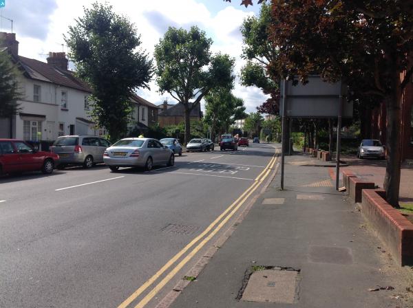
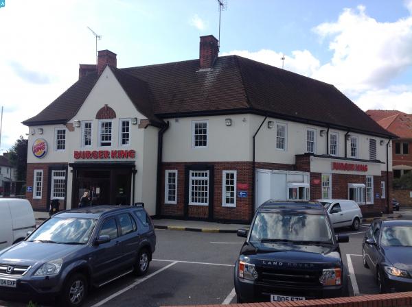
The Avenue, Egham, 07/09/2015 |

Class31 |
Sunday 13th of September 2015 08:59:53 PM |