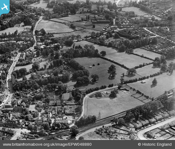
EPW048880 ENGLAND (1935). Fields to the west of the town, Epsom, 1935
    © Hawlfraint cyfranwyr OpenStreetMap a thrwyddedwyd gan yr OpenStreetMap Foundation. 2025. Trwyddedir y gartograffeg fel CC BY-SA.
  
Delweddau cyfagos (11)
Manylion
| Pennawd | [EPW048880] Fields to the west of the town, Epsom, 1935 | 
| Cyfeirnod | EPW048880 | 
| Dyddiad | August-1935 | 
| Dolen | |
| Enw lle | EPSOM | 
| Plwyf | |
| Ardal | |
| Gwlad | ENGLAND | 
| Dwyreiniad / Gogleddiad | 520413, 160466 | 
| Hydred / Lledred | -0.27145920080544, 51.33002262392 | 
| Cyfeirnod Grid Cenedlaethol | TQ204605 | 
Pinnau
|  West Street |   Sinead | Saturday 11th of November 2017 12:53:28 AM | 
|  Wheelers Lane |   JimmyBrandon | Sunday 25th of September 2016 04:39:14 PM | 
|  Wheelers Lane |   JimmyBrandon | Sunday 25th of September 2016 04:39:09 PM | 
|  Epsom District Hospital |   David960 | Friday 13th of February 2015 06:12:56 PM | 
|  The White Horse PH |   David960 | Friday 13th of February 2015 06:12:19 PM | 
|  The Queen's Head PH |   David960 | Friday 13th of February 2015 06:11:32 PM | 
 
             
  ![[EPW048880] Fields to the west of the town, Epsom, 1935](http://britainfromabove.org.uk/sites/all/libraries/aerofilms-images/public/100x100/EPW/048/EPW048880.jpg) 
  
                                          ![[EPW048883] Fields to the west of the town, Epsom, 1935](http://britainfromabove.org.uk/sites/all/libraries/aerofilms-images/public/100x100/EPW/048/EPW048883.jpg) 
 ![[EPW048889] Housing under construction along Hookfield and adjacent fields, Epsom, 1935](http://britainfromabove.org.uk/sites/all/libraries/aerofilms-images/public/100x100/EPW/048/EPW048889.jpg) 
 ![[EPW048886] Housing under construction along Hookfield and adjacent fields, Epsom, 1935](http://britainfromabove.org.uk/sites/all/libraries/aerofilms-images/public/100x100/EPW/048/EPW048886.jpg) 
 ![[EPW048888] Abele Grove (home to the Convent of the Sacred Heart), and adjacent fields, Epsom, 1935](http://britainfromabove.org.uk/sites/all/libraries/aerofilms-images/public/100x100/EPW/048/EPW048888.jpg) 
 ![[EPW048890] Fields to the west of the town, Epsom, 1935](http://britainfromabove.org.uk/sites/all/libraries/aerofilms-images/public/100x100/EPW/048/EPW048890.jpg) 
 ![[EPW048885] White Horse Drive, Dudley Grove and adjacent fields, Epsom, 1935](http://britainfromabove.org.uk/sites/all/libraries/aerofilms-images/public/100x100/EPW/048/EPW048885.jpg) 
 ![[EPW048884] Fields to the west of the town, Epsom, 1935](http://britainfromabove.org.uk/sites/all/libraries/aerofilms-images/public/100x100/EPW/048/EPW048884.jpg) 
 ![[EPW048882] Abele Grove (home to the Convent of the Sacred Heart), Dudley Grove and environs, Epsom, 1935](http://britainfromabove.org.uk/sites/all/libraries/aerofilms-images/public/100x100/EPW/048/EPW048882.jpg) 
 ![[EPW048881] Abele Grove (home to the Convent of the Sacred Heart), Dorking Road and environs, Epsom, 1935](http://britainfromabove.org.uk/sites/all/libraries/aerofilms-images/public/100x100/EPW/048/EPW048881.jpg) 
 ![[EPW048887] Abele Grove (home to the Convent of the Sacred Heart), Dorking Road and environs, Epsom, 1935](http://britainfromabove.org.uk/sites/all/libraries/aerofilms-images/public/100x100/EPW/048/EPW048887.jpg)