
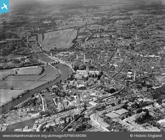
EPW048086 ENGLAND (1935). The River Severn and the city, Worcester, from the south-east, 1935
© Hawlfraint cyfranwyr OpenStreetMap a thrwyddedwyd gan yr OpenStreetMap Foundation. 2026. Trwyddedir y gartograffeg fel CC BY-SA.
Delweddau cyfagos (14)
EPW048086

EPW000202

EPW005412

EPW000201

EPW005413

EAW003990

EPW001305

EAW046117

EPW000398

EPW041739

EPW041768

EPW034600

EPW041738

EAW003653

Manylion
| Pennawd | [EPW048086] The River Severn and the city, Worcester, from the south-east, 1935 |
| Cyfeirnod | EPW048086 |
| Dyddiad | June-1935 |
| Dolen | |
| Enw lle | WORCESTER |
| Plwyf | |
| Ardal | |
| Gwlad | ENGLAND |
| Dwyreiniad / Gogleddiad | 385076, 254233 |
| Hydred / Lledred | -2.2183165703164, 52.185737710479 |
| Cyfeirnod Grid Cenedlaethol | SO851542 |


