
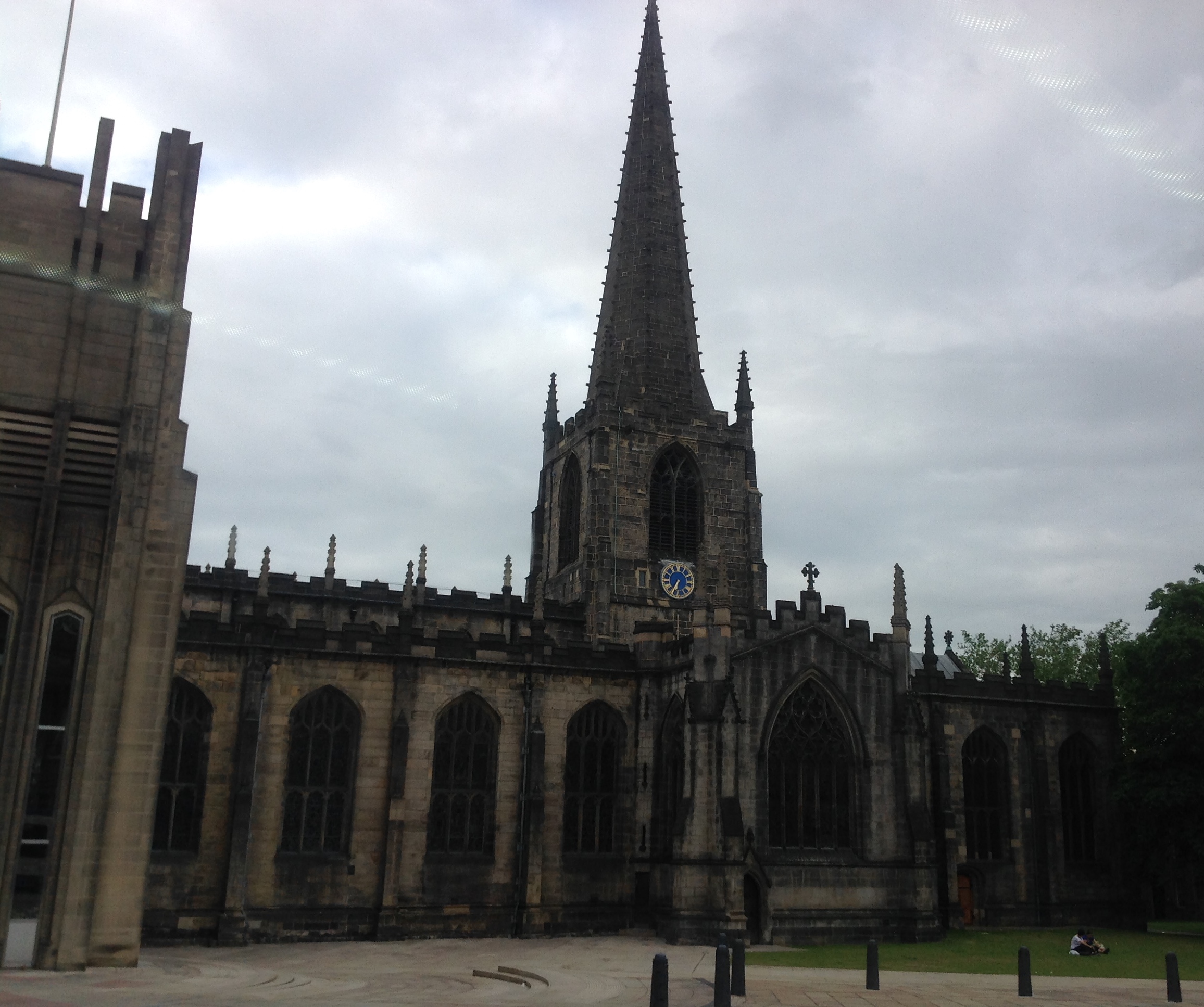
EPW047989 ENGLAND (1935). Campo Lane and environs, Sheffield, from the west, 1935. This image has been affected by flare.

© Hawlfraint cyfranwyr OpenStreetMap a thrwyddedwyd gan yr OpenStreetMap Foundation. 2026. Trwyddedir y gartograffeg fel CC BY-SA.
Delweddau cyfagos (15)
EPW047989

EPW055234

EPW055248

EPW015466

EPW055246

EAW042503

EPW015461

EPW055231

EAW042502

EPW055249

EAW031290

EAW031289

EAW031291

EPW021138

EPW055233

Manylion
| Pennawd | [EPW047989] Campo Lane and environs, Sheffield, from the west, 1935. This image has been affected by flare. |
| Cyfeirnod | EPW047989 |
| Dyddiad | June-1935 |
| Dolen | |
| Enw lle | SHEFFIELD |
| Plwyf | |
| Ardal | |
| Gwlad | ENGLAND |
| Dwyreiniad / Gogleddiad | 435385, 387620 |
| Hydred / Lledred | -1.4679490104767, 53.383975854307 |
| Cyfeirnod Grid Cenedlaethol | SK354876 |
Pinnau

Cyfraniadau Grŵp
Sheffield Cathedral, 14/07/2015 |

Class31 |
Tuesday 21st of July 2015 09:20:25 AM |