
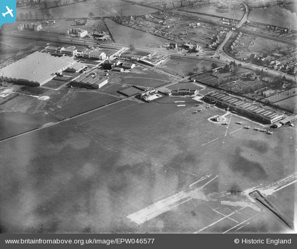
EPW046577 ENGLAND (1935). Hatfield Aerodrome, Hatfield, 1935
© Hawlfraint cyfranwyr OpenStreetMap a thrwyddedwyd gan yr OpenStreetMap Foundation. 2026. Trwyddedir y gartograffeg fel CC BY-SA.
Delweddau cyfagos (14)
EPW046577

EPW042826

EPW042827

EPW042829

EPW046580

EPW042828

EPW042825

EPW047566

EPW061123

EPW061120

EPW047559

EPW047564

EPW047558

EPW047560

Manylion
| Pennawd | [EPW046577] Hatfield Aerodrome, Hatfield, 1935 |
| Cyfeirnod | EPW046577 |
| Dyddiad | March-1935 |
| Dolen | |
| Enw lle | HATFIELD |
| Plwyf | HATFIELD |
| Ardal | |
| Gwlad | ENGLAND |
| Dwyreiniad / Gogleddiad | 521387, 208770 |
| Hydred / Lledred | -0.24081485390997, 51.763983106528 |
| Cyfeirnod Grid Cenedlaethol | TL214088 |
Pinnau

Chells809 |
Monday 17th of June 2013 10:05:15 PM | |
|
Chells809 |
Monday 17th of June 2013 10:03:00 PM | |
|
Chells809 |
Monday 17th of June 2013 10:00:25 PM | |
|
Chells809 |
Monday 17th of June 2013 09:59:06 PM | |
|
Chells809 |
Monday 17th of June 2013 09:57:42 PM | |
|
DerekM |
Sunday 5th of May 2013 12:30:39 PM |
Cyfraniadau Grŵp
I remember going to an Open Day at Hatfield areodrome in 1969. By that time De Havilland had become part of the Hawker Siddeley group and Trident jets were landing and taking off rather than biplanes! |
Chells809 |
Monday 17th of June 2013 10:07:54 PM |