
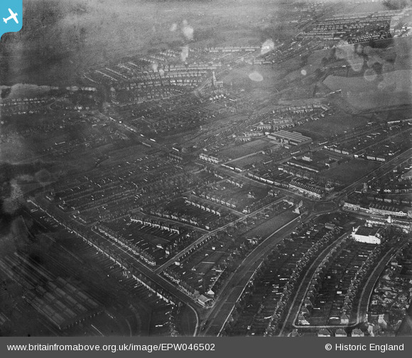
EPW046502 ENGLAND (1935). Neasden Lane, the North Circular Road and environs, Neasden, from the south, 1935
© Hawlfraint cyfranwyr OpenStreetMap a thrwyddedwyd gan yr OpenStreetMap Foundation. 2026. Trwyddedir y gartograffeg fel CC BY-SA.
Delweddau cyfagos (8)
EPW046502

EPW046504

EPW046497

EPW046503

EAW044758

EAW044748

EPW038697

EPW046500

Manylion
| Pennawd | [EPW046502] Neasden Lane, the North Circular Road and environs, Neasden, from the south, 1935 |
| Cyfeirnod | EPW046502 |
| Dyddiad | January-1935 |
| Dolen | |
| Enw lle | NEASDEN |
| Plwyf | |
| Ardal | |
| Gwlad | ENGLAND |
| Dwyreiniad / Gogleddiad | 521037, 185949 |
| Hydred / Lledred | -0.25378923409582, 51.558942366167 |
| Cyfeirnod Grid Cenedlaethol | TQ210859 |
Pinnau

Class31 |
Sunday 2nd of March 2014 11:03:38 PM | |
|
Class31 |
Sunday 2nd of March 2014 11:03:05 PM | |
|
Class31 |
Sunday 2nd of March 2014 11:03:05 PM | |
|
Class31 |
Sunday 2nd of March 2014 11:02:09 PM | |
|
Class31 |
Sunday 2nd of March 2014 11:01:16 PM | |
|
Class31 |
Sunday 2nd of March 2014 11:00:50 PM | |
|
Class31 |
Sunday 2nd of March 2014 11:00:26 PM | |
|
Class31 |
Sunday 2nd of March 2014 10:59:41 PM | |
|
Class31 |
Sunday 2nd of March 2014 10:59:15 PM | |
|
Class31 |
Sunday 2nd of March 2014 10:58:30 PM | |
|
Class31 |
Sunday 2nd of March 2014 10:58:13 PM |