EPW046159 ENGLAND (1934). The E. H. Bentall and Co Works and environs, Heybridge, 1934
© Hawlfraint cyfranwyr OpenStreetMap a thrwyddedwyd gan yr OpenStreetMap Foundation. 2025. Trwyddedir y gartograffeg fel CC BY-SA.
Delweddau cyfagos (5)
Manylion
| Pennawd | [EPW046159] The E. H. Bentall and Co Works and environs, Heybridge, 1934 |
| Cyfeirnod | EPW046159 |
| Dyddiad | September-1934 |
| Dolen | |
| Enw lle | HEYBRIDGE |
| Plwyf | HEYBRIDGE |
| Ardal | |
| Gwlad | ENGLAND |
| Dwyreiniad / Gogleddiad | 585618, 208067 |
| Hydred / Lledred | 0.68875482715584, 51.740063957464 |
| Cyfeirnod Grid Cenedlaethol | TL856081 |
Pinnau

DaveD |
Thursday 8th of May 2014 03:36:00 PM | |

DaveD |
Thursday 8th of May 2014 03:34:00 PM | |
Sandra Brauer |
Thursday 23rd of May 2013 01:54:31 PM |
Cyfraniadau Grŵp
Sandra Brauer |
Sunday 27th of April 2014 03:20:53 PM | |

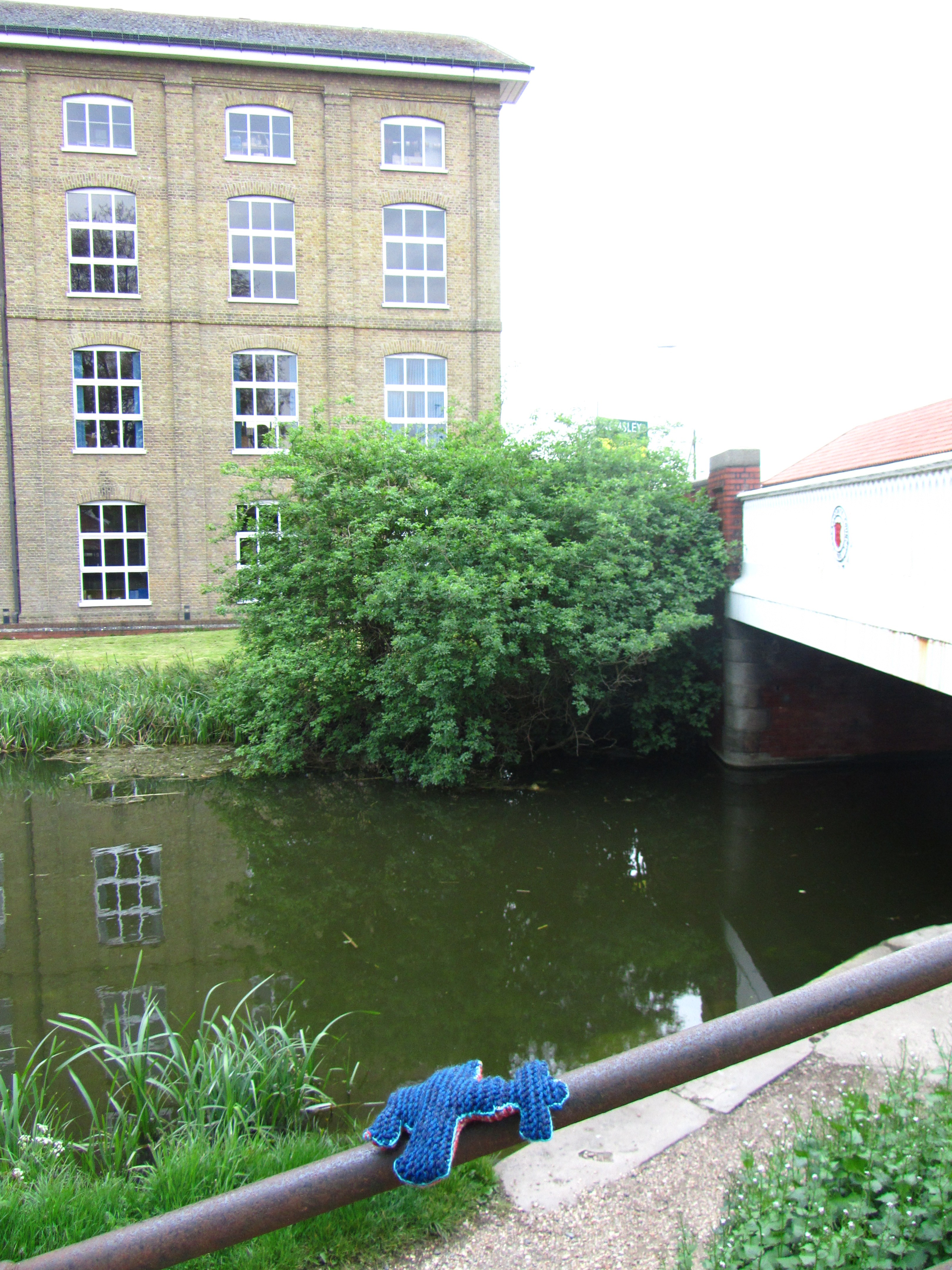
Here's the view in 2013! |
Sandra Brauer |
Thursday 23rd of May 2013 01:56:50 PM |
Used to work there in the early 1960s! Thanks - I'll look for the image. |

mo |
Sunday 27th of April 2014 03:20:53 PM |


![[EPW046159] The E. H. Bentall and Co Works and environs, Heybridge, 1934](http://britainfromabove.org.uk/sites/all/libraries/aerofilms-images/public/100x100/EPW/046/EPW046159.jpg)
![[EPW046160] The E. H. Bentall and Co Works and environs, Heybridge, 1934](http://britainfromabove.org.uk/sites/all/libraries/aerofilms-images/public/100x100/EPW/046/EPW046160.jpg)
![[EPW046154] The E. H. Bentall and Co Works and environs, Heybridge, 1934](http://britainfromabove.org.uk/sites/all/libraries/aerofilms-images/public/100x100/EPW/046/EPW046154.jpg)
![[EPW046158] The E. H. Bentall and Co Works and environs, Heybridge, from the north-west, 1934](http://britainfromabove.org.uk/sites/all/libraries/aerofilms-images/public/100x100/EPW/046/EPW046158.jpg)
![[EPW046157] The E. H. Bentall and Co Works and environs, Heybridge, from the north-west, 1934](http://britainfromabove.org.uk/sites/all/libraries/aerofilms-images/public/100x100/EPW/046/EPW046157.jpg)

