
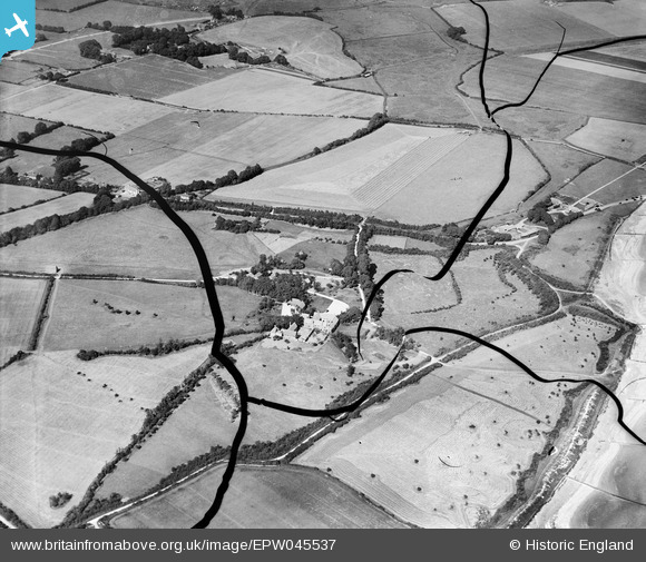
EPW045537 ENGLAND (1934). Bailiffscourt and surrounding countryside, Atherington, 1934. This image has been produced from a damaged negative.
© Hawlfraint cyfranwyr OpenStreetMap a thrwyddedwyd gan yr OpenStreetMap Foundation. 2026. Trwyddedir y gartograffeg fel CC BY-SA.
Delweddau cyfagos (32)
EPW045537

EPW045583

EPW020170

EPW020152

EPW020161

EPW020151

EPW062504

EPW020172

EPW045536

EPW020150

EPW020157

EPW020156

EPW020148

EPW045538

EPW020158

EPW062492

EPW020162

EPW020153

EPW062494

EPW020149

EPW062495

EPW020160

EPW062497

EPW020165

EPW020155

EPW062498

EPW020167

EPW020171

EPW020169

EPW045531

EPW020164

EPW062503

Manylion
| Pennawd | [EPW045537] Bailiffscourt and surrounding countryside, Atherington, 1934. This image has been produced from a damaged negative. |
| Cyfeirnod | EPW045537 |
| Dyddiad | July-1934 |
| Dolen | |
| Enw lle | ATHERINGTON |
| Plwyf | CLIMPING |
| Ardal | |
| Gwlad | ENGLAND |
| Dwyreiniad / Gogleddiad | 500259, 100923 |
| Hydred / Lledred | -0.57717421439198, 50.798620718985 |
| Cyfeirnod Grid Cenedlaethol | TQ003009 |
Pinnau
Byddwch y cyntaf i ychwanegu sylw at y ddelwedd hon!