
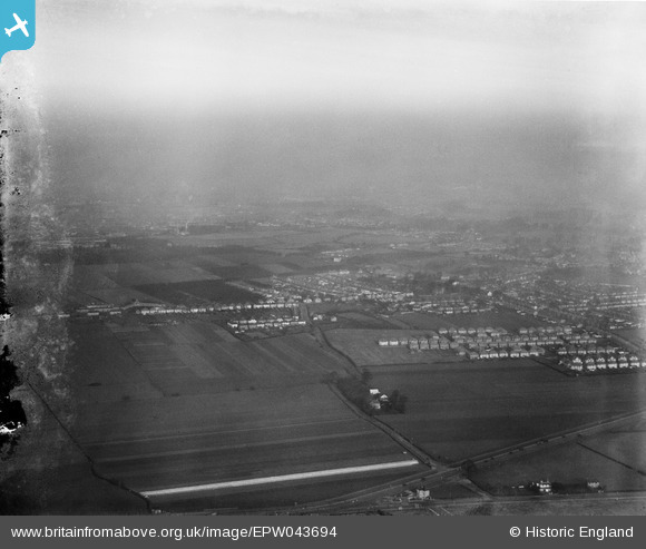
EPW043694 ENGLAND (1934). Cranford Lane and environs, Heston, from the south-west, 1934
© Hawlfraint cyfranwyr OpenStreetMap a thrwyddedwyd gan yr OpenStreetMap Foundation. 2026. Trwyddedir y gartograffeg fel CC BY-SA.
Delweddau cyfagos (2)
EPW043694

EPW021897

Manylion
| Pennawd | [EPW043694] Cranford Lane and environs, Heston, from the south-west, 1934 |
| Cyfeirnod | EPW043694 |
| Dyddiad | January-1934 |
| Dolen | |
| Enw lle | HESTON |
| Plwyf | |
| Ardal | |
| Gwlad | ENGLAND |
| Dwyreiniad / Gogleddiad | 511760, 176689 |
| Hydred / Lledred | -0.39050726302812, 51.477619834893 |
| Cyfeirnod Grid Cenedlaethol | TQ118767 |
Pinnau
Byddwch y cyntaf i ychwanegu sylw at y ddelwedd hon!