
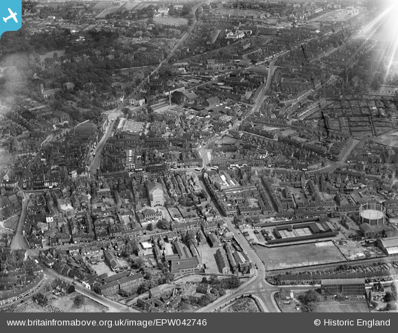
EPW042746 ENGLAND (1933). The town centre, Newcastle-under-Lyme, 1933
© Hawlfraint cyfranwyr OpenStreetMap a thrwyddedwyd gan yr OpenStreetMap Foundation. 2026. Trwyddedir y gartograffeg fel CC BY-SA.
Delweddau cyfagos (7)
EPW042746

EPW028090

EPW042745

EPW020010

EPW020016

EPW020015

EPW042747

Manylion
| Pennawd | [EPW042746] The town centre, Newcastle-under-Lyme, 1933 |
| Cyfeirnod | EPW042746 |
| Dyddiad | August-1933 |
| Dolen | |
| Enw lle | NEWCASTLE-UNDER-LYME |
| Plwyf | |
| Ardal | |
| Gwlad | ENGLAND |
| Dwyreiniad / Gogleddiad | 384944, 345938 |
| Hydred / Lledred | -2.2244216648684, 53.010231829238 |
| Cyfeirnod Grid Cenedlaethol | SJ849459 |
Pinnau

J Stones |
Wednesday 26th of March 2025 08:48:30 AM | |
|
Spraggy1863 |
Thursday 26th of May 2022 03:12:04 PM | |
|
Spraggy1863 |
Thursday 26th of May 2022 03:07:53 PM | |
|
Spraggy1863 |
Thursday 26th of May 2022 03:06:44 PM | |
|
Kate |
Sunday 22nd of November 2015 01:18:32 PM | |
|
Kate |
Sunday 22nd of November 2015 01:13:44 PM | |
|
Kate |
Saturday 21st of November 2015 12:34:45 PM | |
|
ullymike |
Friday 4th of April 2014 11:16:40 AM | |
|
ullymike |
Friday 4th of April 2014 11:15:37 AM |