
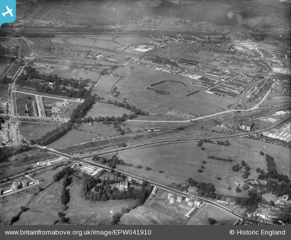
EPW041910 ENGLAND (1933). The Horse Ring football ground and various factories, Park Royal, from the south-west, 1933
© Hawlfraint cyfranwyr OpenStreetMap a thrwyddedwyd gan yr OpenStreetMap Foundation. 2026. Trwyddedir y gartograffeg fel CC BY-SA.
Delweddau cyfagos (17)
EPW041910

EPW041848

EPW041913

EPW041912

EPR000520

EAW031543

EAW031548

EAW031545

EAW031553

EPR000519

EPW041911

EAW031550

EAW031542

EAW031546

EPW055718

EPW041914

EAW031544

Manylion
| Pennawd | [EPW041910] The Horse Ring football ground and various factories, Park Royal, from the south-west, 1933 |
| Cyfeirnod | EPW041910 |
| Dyddiad | June-1933 |
| Dolen | |
| Enw lle | PARK ROYAL |
| Plwyf | |
| Ardal | |
| Gwlad | ENGLAND |
| Dwyreiniad / Gogleddiad | 519076, 182533 |
| Hydred / Lledred | -0.28322311119232, 51.528655480994 |
| Cyfeirnod Grid Cenedlaethol | TQ191825 |
Pinnau

Leslie B |
Thursday 29th of February 2024 07:26:23 PM | |
|
Leslie B |
Tuesday 2nd of January 2024 04:18:44 PM | |
|
Leslie B |
Tuesday 2nd of January 2024 04:12:40 PM | |
|
Mikkel |
Wednesday 22nd of February 2017 07:54:58 AM | |
|
Leslie B |
Tuesday 23rd of February 2016 12:45:01 AM | |

Class31 |
Wednesday 19th of August 2015 11:31:18 AM | |
|
Class31 |
Wednesday 19th of August 2015 09:06:15 AM | |
|
Class31 |
Wednesday 19th of August 2015 09:04:31 AM | |
|
Class31 |
Wednesday 19th of August 2015 09:03:47 AM |
