
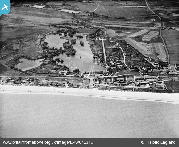
EPW041345 ENGLAND (1933). The Meare, Thorpeness, 1933. This image has been produced from a copy-negative.
© Hawlfraint cyfranwyr OpenStreetMap a thrwyddedwyd gan yr OpenStreetMap Foundation. 2026. Trwyddedir y gartograffeg fel CC BY-SA.
Delweddau cyfagos (3)
EPW041345

EAW038338

EAW038335

Manylion
| Pennawd | [EPW041345] The Meare, Thorpeness, 1933. This image has been produced from a copy-negative. |
| Cyfeirnod | EPW041345 |
| Dyddiad | May-1933 |
| Dolen | |
| Enw lle | THORPENESS |
| Plwyf | ALDRINGHAM CUM THORPE |
| Ardal | |
| Gwlad | ENGLAND |
| Dwyreiniad / Gogleddiad | 647096, 259597 |
| Hydred / Lledred | 1.6146850309264, 52.178776899823 |
| Cyfeirnod Grid Cenedlaethol | TM471596 |
Pinnau

Henry J Foxwood |
Sunday 24th of May 2015 12:35:36 PM | |
|
Henry J Foxwood |
Sunday 24th of May 2015 12:35:03 PM | |
|
holidayinsuffolk |
Sunday 23rd of November 2014 09:38:58 AM | |
|
holidayinsuffolk |
Sunday 23rd of November 2014 09:37:56 AM | |
|
holidayinsuffolk |
Sunday 23rd of November 2014 09:37:32 AM | |
|
holidayinsuffolk |
Sunday 23rd of November 2014 09:36:42 AM |