
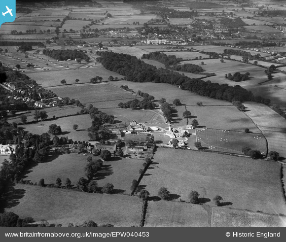
EPW040453 ENGLAND (1932). The Ovaltine Model Dairy Farm and environs, Abbots Langley, from the east, 1932
© Hawlfraint cyfranwyr OpenStreetMap a thrwyddedwyd gan yr OpenStreetMap Foundation. 2026. Trwyddedir y gartograffeg fel CC BY-SA.
Delweddau cyfagos (3)
EPW040453

EPW040450

EPW040451

Manylion
| Pennawd | [EPW040453] The Ovaltine Model Dairy Farm and environs, Abbots Langley, from the east, 1932 |
| Cyfeirnod | EPW040453 |
| Dyddiad | September-1932 |
| Dolen | |
| Enw lle | ABBOTS LANGLEY |
| Plwyf | ABBOTS LANGLEY |
| Ardal | |
| Gwlad | ENGLAND |
| Dwyreiniad / Gogleddiad | 509848, 202624 |
| Hydred / Lledred | -0.40990971850278, 51.711121899341 |
| Cyfeirnod Grid Cenedlaethol | TL098026 |
Pinnau
Byddwch y cyntaf i ychwanegu sylw at y ddelwedd hon!