
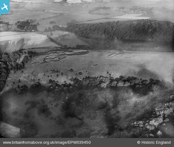
EPW039450 ENGLAND (1932). Earthworks on Bury Hill and Coombe Wood, Bury, 1932
© Hawlfraint cyfranwyr OpenStreetMap a thrwyddedwyd gan yr OpenStreetMap Foundation. 2026. Trwyddedir y gartograffeg fel CC BY-SA.
Delweddau cyfagos (4)
EPW039450

EPW039462

EPW039453

EPW039454

Manylion
| Pennawd | [EPW039450] Earthworks on Bury Hill and Coombe Wood, Bury, 1932 |
| Cyfeirnod | EPW039450 |
| Dyddiad | August-1932 |
| Dolen | |
| Enw lle | BURY |
| Plwyf | BURY |
| Ardal | |
| Gwlad | ENGLAND |
| Dwyreiniad / Gogleddiad | 500147, 112237 |
| Hydred / Lledred | -0.57566817322927, 50.900361247464 |
| Cyfeirnod Grid Cenedlaethol | TQ001122 |
Pinnau
Byddwch y cyntaf i ychwanegu sylw at y ddelwedd hon!