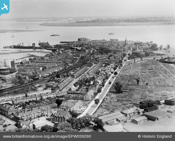
EPW039290 ENGLAND (1932). The town, Harwich, from the south, 1932. This image has been produced from a copy-negative.
    © Hawlfraint cyfranwyr OpenStreetMap a thrwyddedwyd gan yr OpenStreetMap Foundation. 2025. Trwyddedir y gartograffeg fel CC BY-SA.
  
Delweddau cyfagos (5)
Manylion
| Pennawd | [EPW039290] The town, Harwich, from the south, 1932. This image has been produced from a copy-negative. | 
| Cyfeirnod | EPW039290 | 
| Dyddiad | July-1932 | 
| Dolen | |
| Enw lle | HARWICH | 
| Plwyf | HARWICH | 
| Ardal | |
| Gwlad | ENGLAND | 
| Dwyreiniad / Gogleddiad | 625941, 231940 | 
| Hydred / Lledred | 1.2874999770334, 51.939576355426 | 
| Cyfeirnod Grid Cenedlaethol | TM259319 | 
Pinnau
Byddwch y cyntaf i ychwanegu sylw at y ddelwedd hon!
 
             
  ![[EPW039290] The town, Harwich, from the south, 1932. This image has been produced from a copy-negative.](http://britainfromabove.org.uk/sites/all/libraries/aerofilms-images/public/100x100/EPW/039/EPW039290.jpg) 
  
                                          ![[EAW048284] Flooding at Bath Side, Harwich, 1953](http://britainfromabove.org.uk/sites/all/libraries/aerofilms-images/public/100x100/EAW/048/EAW048284.jpg) 
 ![[EAW025899] The town and mouth of the River Orwell, Harwich, from the south-west, 1949](http://britainfromabove.org.uk/sites/all/libraries/aerofilms-images/public/100x100/EAW/025/EAW025899.jpg) 
 ![[EAW048286] Flooding at Bath Side, Harwich, 1953](http://britainfromabove.org.uk/sites/all/libraries/aerofilms-images/public/100x100/EAW/048/EAW048286.jpg) 
 ![[EAW048285] Flooding at Bath Side, Harwich, 1953](http://britainfromabove.org.uk/sites/all/libraries/aerofilms-images/public/100x100/EAW/048/EAW048285.jpg)