
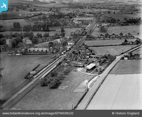
EPW038132 ENGLAND (1932). Burnthouse Farm and environs, Chartham, from the north-east, 1932
© Hawlfraint cyfranwyr OpenStreetMap a thrwyddedwyd gan yr OpenStreetMap Foundation. 2026. Trwyddedir y gartograffeg fel CC BY-SA.
Delweddau cyfagos (3)
EPW038132

EAW004717

EAW004716

Manylion
| Pennawd | [EPW038132] Burnthouse Farm and environs, Chartham, from the north-east, 1932 |
| Cyfeirnod | EPW038132 |
| Dyddiad | May-1932 |
| Dolen | |
| Enw lle | CHARTHAM |
| Plwyf | CHARTHAM |
| Ardal | |
| Gwlad | ENGLAND |
| Dwyreiniad / Gogleddiad | 610758, 155297 |
| Hydred / Lledred | 1.02087953338, 51.257306816125 |
| Cyfeirnod Grid Cenedlaethol | TR108553 |
Pinnau
Byddwch y cyntaf i ychwanegu sylw at y ddelwedd hon!