EPW037418 ENGLAND (1932). Bournemouth Pier, Bournemouth, 1932

© Hawlfraint cyfranwyr OpenStreetMap a thrwyddedwyd gan yr OpenStreetMap Foundation. 2026. Trwyddedir y gartograffeg fel CC BY-SA.
Delweddau cyfagos (28)
EPW037418

EPW000253

EPW018167

EPW013553

EAW018154

EAW034624

EPW000261

EPW041046

EPW013560

EPW018164

EAW050053

EAW049056

EPW013551

EPW061510

EPR000661

EPW041047

EPW000252

EPW000266

EPW037422

EPW013552

EAW002993

EPW037423

EPW018155

EPR000286

EAW050052

EPW013563

EPR000662

EAW035603

Manylion
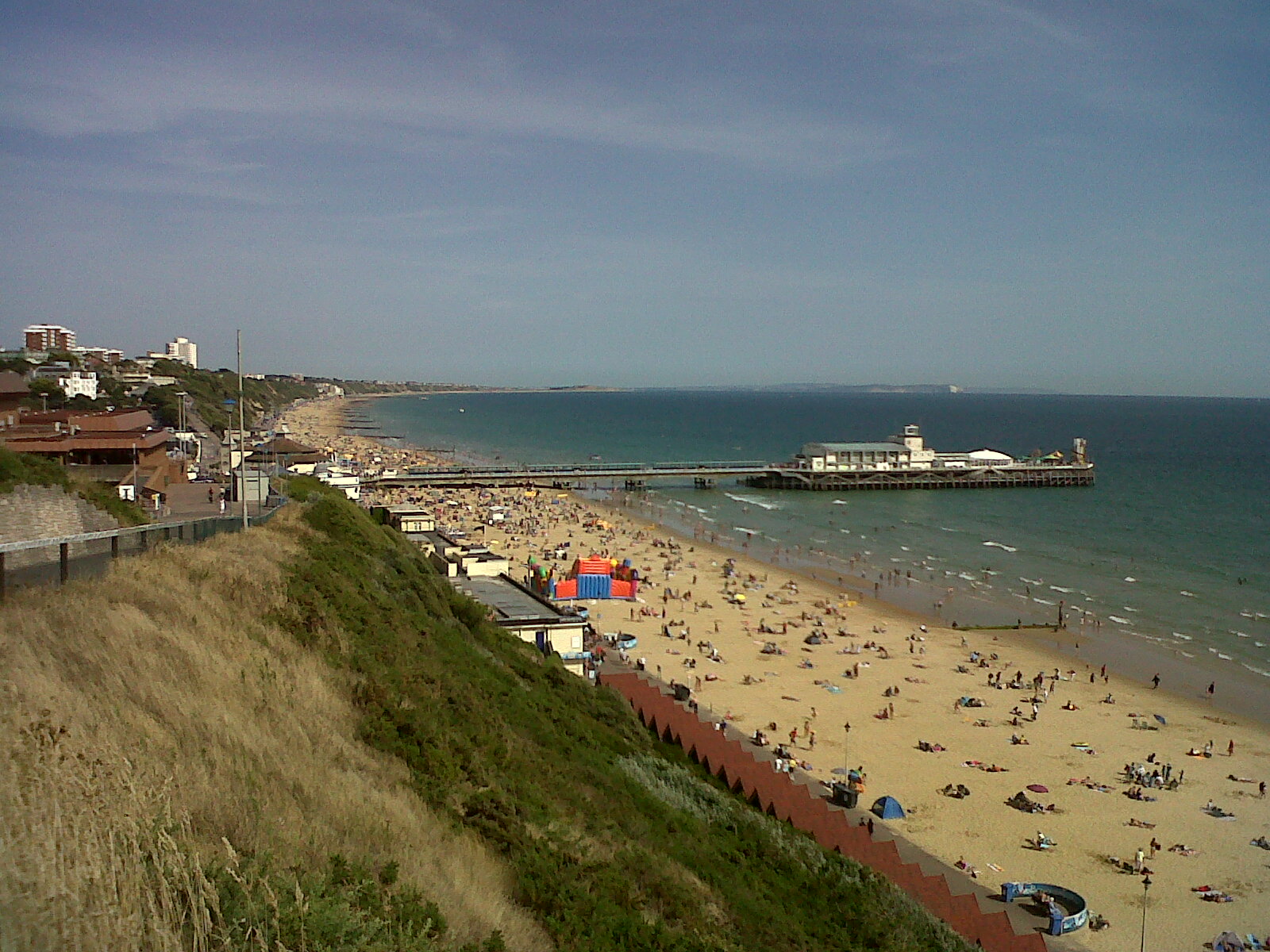
| Pennawd | [EPW037418] Bournemouth Pier, Bournemouth, 1932 |
| Cyfeirnod | EPW037418 |
| Dyddiad | April-1932 |
| Dolen | |
| Enw lle | BOURNEMOUTH |
| Plwyf | |
| Ardal | |
| Gwlad | ENGLAND |
| Dwyreiniad / Gogleddiad | 408906, 90655 |
| Hydred / Lledred | -1.8738383908547, 50.714882468616 |
| Cyfeirnod Grid Cenedlaethol | SZ089907 |
Pinnau
Byddwch y cyntaf i ychwanegu sylw at y ddelwedd hon!