
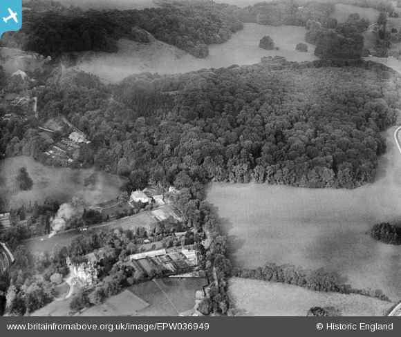
EPW036949 ENGLAND (1931). Nut Wood and environs, Reigate, 1931
© Hawlfraint cyfranwyr OpenStreetMap a thrwyddedwyd gan yr OpenStreetMap Foundation. 2026. Trwyddedir y gartograffeg fel CC BY-SA.
Delweddau cyfagos (2)
EPW036949

EPW036952

Manylion
| Pennawd | [EPW036949] Nut Wood and environs, Reigate, 1931 |
| Cyfeirnod | EPW036949 |
| Dyddiad | October-1931 |
| Dolen | |
| Enw lle | REIGATE |
| Plwyf | |
| Ardal | |
| Gwlad | ENGLAND |
| Dwyreiniad / Gogleddiad | 526621, 151856 |
| Hydred / Lledred | -0.18544343139012, 51.251284658461 |
| Cyfeirnod Grid Cenedlaethol | TQ266519 |
Pinnau
Byddwch y cyntaf i ychwanegu sylw at y ddelwedd hon!