
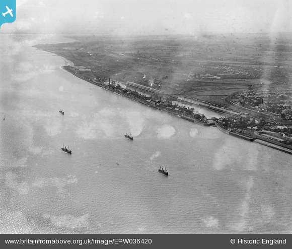
EPW036420 ENGLAND (1931). St Andrew's Dock, boats on the River Humber and environs, Kingston upon Hull, from the east, 1931
© Hawlfraint cyfranwyr OpenStreetMap a thrwyddedwyd gan yr OpenStreetMap Foundation. 2026. Trwyddedir y gartograffeg fel CC BY-SA.
Delweddau cyfagos (5)
EPW036420

EPW036377

EPW036384

EAW046148

EPW055049

Manylion
| Pennawd | [EPW036420] St Andrew's Dock, boats on the River Humber and environs, Kingston upon Hull, from the east, 1931 |
| Cyfeirnod | EPW036420 |
| Dyddiad | August-1931 |
| Dolen | |
| Enw lle | KINGSTON UPON HULL |
| Plwyf | |
| Ardal | |
| Gwlad | ENGLAND |
| Dwyreiniad / Gogleddiad | 508048, 426974 |
| Hydred / Lledred | -0.36210179141934, 53.727735351388 |
| Cyfeirnod Grid Cenedlaethol | TA080270 |
Pinnau
Byddwch y cyntaf i ychwanegu sylw at y ddelwedd hon!