
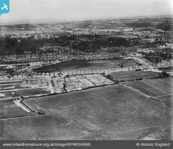
EPW034988 ENGLAND (1931). Housing development around Camrose Avenue, Little Stanmore, from the south-east, 1931
© Hawlfraint cyfranwyr OpenStreetMap a thrwyddedwyd gan yr OpenStreetMap Foundation. 2026. Trwyddedir y gartograffeg fel CC BY-SA.
Delweddau cyfagos (8)
EPW034988

EAW044759

EPW034978

EPW025892

EPW035543

EPW034977

EPW025894

EPW034979

Manylion
| Pennawd | [EPW034988] Housing development around Camrose Avenue, Little Stanmore, from the south-east, 1931 |
| Cyfeirnod | EPW034988 |
| Dyddiad | April-1931 |
| Dolen | |
| Enw lle | LITTLE STANMORE |
| Plwyf | |
| Ardal | |
| Gwlad | ENGLAND |
| Dwyreiniad / Gogleddiad | 519106, 190596 |
| Hydred / Lledred | -0.28005783801978, 51.601122286884 |
| Cyfeirnod Grid Cenedlaethol | TQ191906 |
Pinnau

stevenprice |
Thursday 10th of July 2025 10:49:39 AM | |
|
mapgeek |
Friday 8th of February 2013 07:52:50 PM | |
|
mapgeek |
Friday 8th of February 2013 07:52:09 PM | |
|
mapgeek |
Friday 8th of February 2013 07:51:32 PM |