
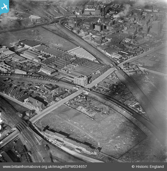
EPW034657 ENGLAND (1930). Stoneferry Canister Works, Kingston upon Hull, 1930
© Hawlfraint cyfranwyr OpenStreetMap a thrwyddedwyd gan yr OpenStreetMap Foundation. 2026. Trwyddedir y gartograffeg fel CC BY-SA.
Delweddau cyfagos (9)
EPW034657

EPW036517

EPW034649

EPW034661

EPW036516

EPW036518

EPW034648

EPW034652

EPW034650

Manylion
| Pennawd | [EPW034657] Stoneferry Canister Works, Kingston upon Hull, 1930 |
| Cyfeirnod | EPW034657 |
| Dyddiad | 16-October-1930 |
| Dolen | |
| Enw lle | KINGSTON UPON HULL |
| Plwyf | |
| Ardal | |
| Gwlad | ENGLAND |
| Dwyreiniad / Gogleddiad | 510293, 430658 |
| Hydred / Lledred | -0.3267707911171, 53.760367189431 |
| Cyfeirnod Grid Cenedlaethol | TA103307 |
Pinnau

John Wass |
Tuesday 12th of July 2016 08:55:20 PM | |
|
John Wass |
Monday 25th of May 2015 04:19:00 PM | |
|
John Wass |
Tuesday 19th of August 2014 02:58:38 PM |