
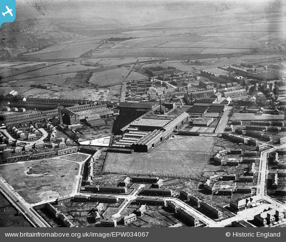
EPW034067 ENGLAND (1930). The Phoenix Engineering Works, the Burlington Wool Combing Works and environs, Thornbury, from the north-west, 1930
© Hawlfraint cyfranwyr OpenStreetMap a thrwyddedwyd gan yr OpenStreetMap Foundation. 2026. Trwyddedir y gartograffeg fel CC BY-SA.
Delweddau cyfagos (8)
EPW034067

EPW034065

EPW034068

EPW034064

EPW034066

EPW034069

EPW034063

EPW034062

Manylion
| Pennawd | [EPW034067] The Phoenix Engineering Works, the Burlington Wool Combing Works and environs, Thornbury, from the north-west, 1930 |
| Cyfeirnod | EPW034067 |
| Dyddiad | July-1930 |
| Dolen | |
| Enw lle | THORNBURY |
| Plwyf | |
| Ardal | |
| Gwlad | ENGLAND |
| Dwyreiniad / Gogleddiad | 419019, 434156 |
| Hydred / Lledred | -1.7111856062192, 53.803140584397 |
| Cyfeirnod Grid Cenedlaethol | SE190342 |
Pinnau

doc |
Tuesday 9th of July 2019 03:05:11 PM | |
|
doc |
Tuesday 9th of July 2019 03:04:51 PM | |
|
7thSeal |
Friday 17th of May 2013 02:51:04 PM | |
|
7thSeal |
Friday 17th of May 2013 02:38:11 PM | |
|
7thSeal |
Friday 17th of May 2013 02:37:05 PM | |
|
7thSeal |
Friday 17th of May 2013 02:36:39 PM |